
Laser Scanning to Verify MEP Installations
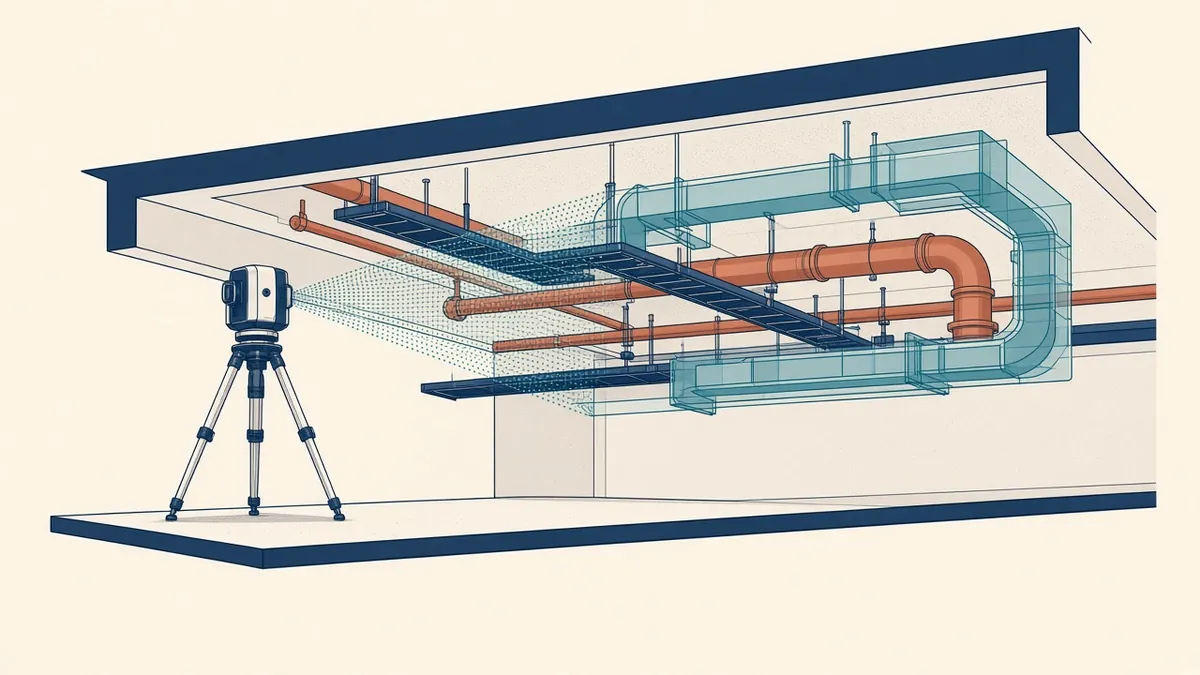
Laser scanning can show whether installed services match the coordinated model before the ceiling goes up.
Laser scanning captures accurate 3D data of existing conditions. During construction, it can be used to check MEP installations against coordinated models, find deviations early and create accurate as-built records.
How it works
A laser scanner records millions of points from surfaces, creating a point cloud. The point cloud is registered, aligned to project coordinates and compared with the coordinated model.
When to scan
- Before installation: to check structure and slabs before prefabricated services are fabricated
- During installation: to verify services before ceilings are closed
- After installation: to record as-built conditions
Scanning before ceilings are closed is especially valuable, as services are still visible.
- 01Agree scope and accuracy
- 02Scan on site
- 03Register the scans
- 04Clean and segment the cloud
- 05Model from the cloud
- 06Check the model against the cloud
Comparing scans with models
Software can compare point clouds with models, highlighting deviations. This shows where services are installed differently from the coordinated design.
Uses for deviations
- Confirming installations meet coordination
- Identifying conflicts before ceilings are installed
- Updating models to reflect as-built conditions
- Supporting payment or quality checks
As-built records
Point clouds and updated models provide accurate records for facility management. They help with future maintenance and changes.
Accuracy
Scan accuracy depends on the scanner, setup and registration. Agree accuracy requirements and check registration quality. Standards and guidance, such as the USIBD Level of Accuracy specification, can help define requirements.
Scan to BIM for existing services
In refurbishment projects, scans of existing services can support modelling of existing conditions.
Practical considerations
- Plan scans around construction progress
- Ensure areas are accessible and clear
- Manage large data files
- Agree formats for sharing
Combining with other tools
Some teams combine laser scanning with photographs, 360-degree cameras or drone surveys for fuller records.
Who does the scanning
Scanning may be done by surveyors, contractors or specialist teams. Agree responsibilities and deliverables.
Define deliverables
Store data sensibly
Point clouds can be very large. Agree where they're stored, how they're shared and how long they're kept.
Link to the issue process
Deviations found in scans can be raised as coordination issues, using the same tracking process as clash detection. This keeps all issues in one place.
Scan at the right time
Time scans for when services are installed but ceilings and walls are still open.
Laser scanning gives teams confidence that MEP installations match the coordinated design, and provides accurate records for the future.
If your team needs extra production capacity for work like this, take a look at our Architectural production services, or tell us about your project.
Related articles
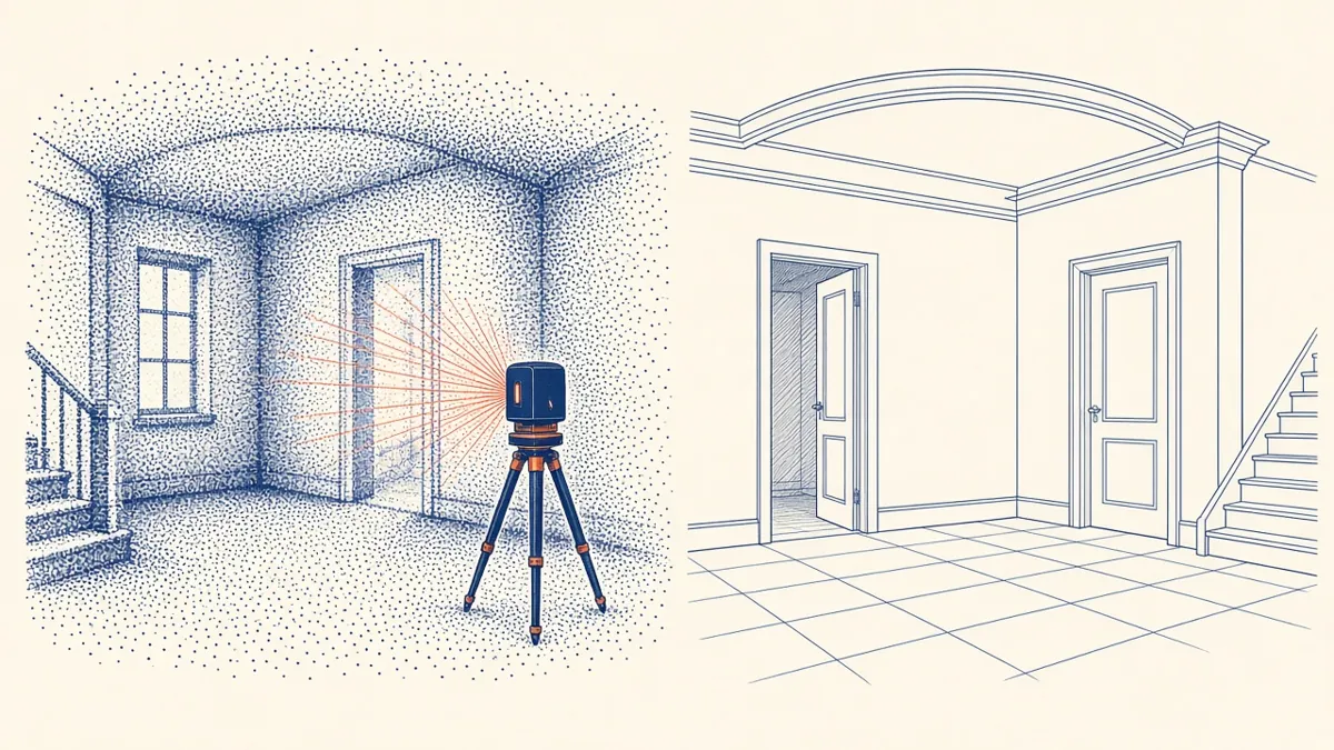
Scan to BIM for Existing Buildings
Turning laser scans of existing buildings into reliable BIM models.
Read more →
MEP Coordination Sign-Off Before Construction
Confirming coordination is complete before services go in.
Read more →
Model Accuracy Checks for Revit and BIM Projects
Practical checks that keep a BIM model accurate, healthy and trustworthy.
Read more →