
Photogrammetry for Architecture
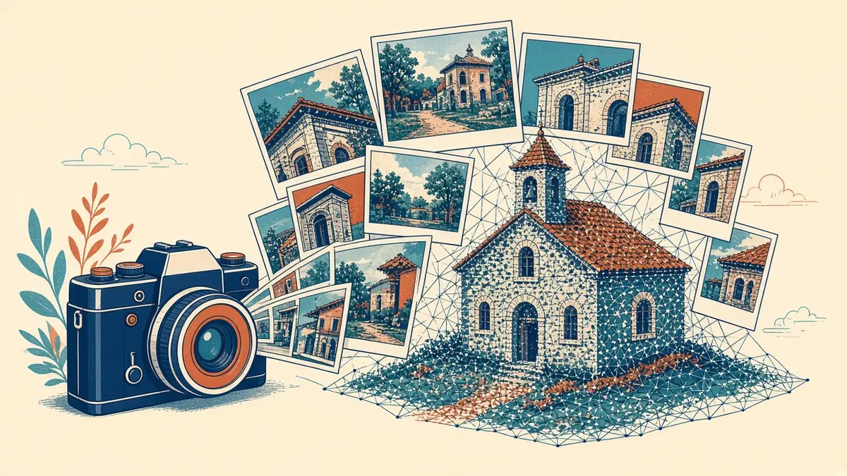
With a camera and the right software, overlapping photos can become a measurable 3D model.
Photogrammetry creates 3D information from overlapping photographs. Software identifies common points across images and calculates their position in space. For Architects, it's a useful survey method, especially for facades and detailed surfaces.
How it works
- Capture many overlapping photos from different positions.
- Software matches features across images.
- Camera positions are calculated.
- A point cloud or mesh is generated.
- Textures are applied from the photos.
Outputs
- Dense point clouds
- Textured meshes
- Orthophotos, which are scaled, distortion-corrected images
- Elevation drawings traced from orthophotos
Photogrammetry vs laser scanning
Laser scanning measures distance directly and is usually more reliable for overall geometry, interiors and dark or plain surfaces. Photogrammetry captures colour and texture well and can be cost-effective for facades. Many surveys combine both.
Accuracy factors
- Camera quality and lens
- Image overlap
- Lighting conditions
- Surface texture, as plain or shiny surfaces are harder to match
- Control points for scale and position
Ground control points, measured with survey equipment, help scale and position results accurately.
Capture tips
- Use consistent lighting, avoiding harsh shadows
- Overlap images generously
- Capture from several angles
- Avoid moving objects
- Include scale references
Uses in Architecture
- Facade surveys
- Heritage recording
- Site context models
- Condition surveys
Drones
Drones enable aerial photogrammetry of roofs and sites. Their use is regulated, as covered in drone survey guidance.
Limitations
Interiors, reflective surfaces and fine geometry can be challenging. Check results against measured dimensions.
Using results in BIM
Meshes and point clouds can be referenced in modelling software, like scan data, as a basis for modelling.
Processing
Processing large image sets needs capable computers and time. Check results at each stage, such as camera alignment and dense point generation, before producing final outputs.
Checking results
Compare a few measurements from the model with tape or laser measurements on site. If they don't match, check scale and control points.
Recording metadata
- 01How it works
- 02Outputs
- 03Photogrammetry vs laser scanning
- 04Accuracy factors
- 05Capture tips
- 06Uses in Architecture
When to choose it
Photogrammetry suits facades, roofs and textured surfaces where colour matters. For complex interiors or where tight accuracy is needed throughout, laser scanning is often the safer choice.
Used well, photogrammetry adds detailed, visual survey information to existing building projects.
If your team needs extra production capacity for work like this, take a look at our Architectural production services, or tell us about your project.
Related articles
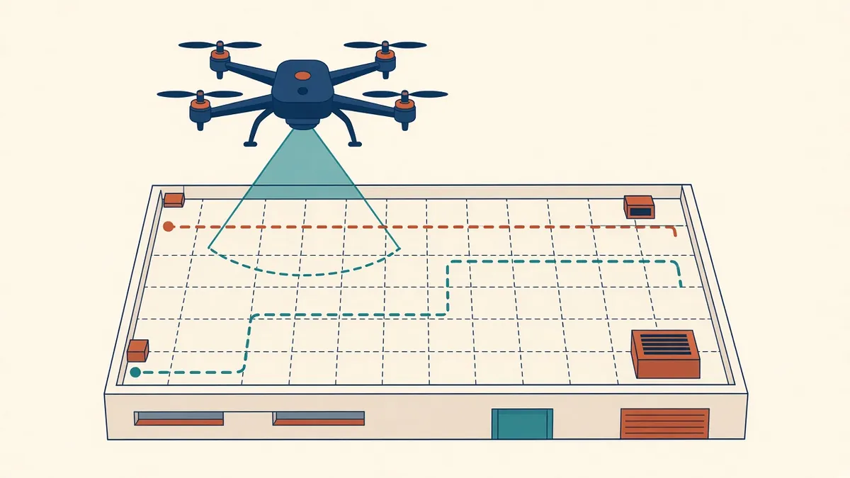
Drone Surveys for Buildings and Sites
Aerial capture for roofs, sites and context, flown within the rules.
Read more →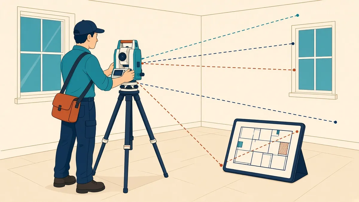
Measured Building Surveys Explained
Survey methods, deliverables and how to specify what you need.
Read more →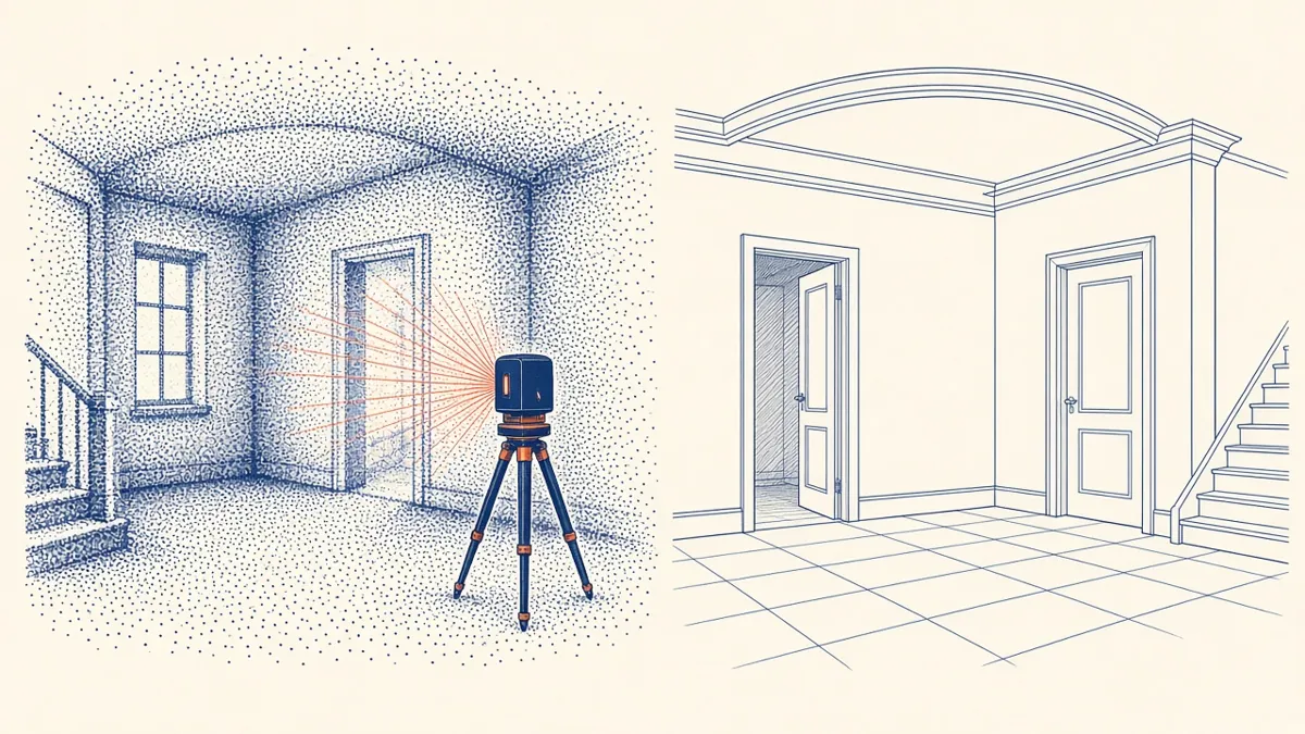
Scan to BIM for Existing Buildings
Turning laser scans of existing buildings into reliable BIM models.
Read more →