
Site Analysis Basics for Architects
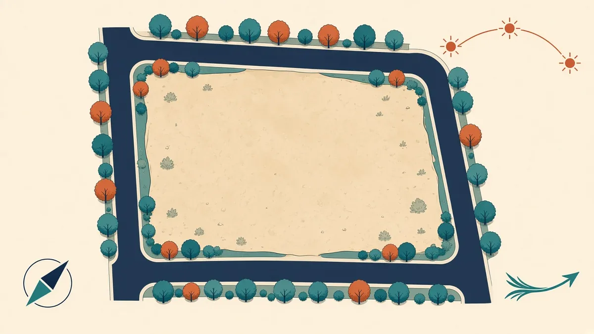
Every site has its own sun, wind, access and neighbours. Site analysis is how you get to know them.
Site analysis studies the physical, environmental and regulatory conditions of a site before design begins. It helps Architects understand opportunities and constraints, and it often shapes the building's form, orientation and layout.
Context
- Surrounding buildings, uses and heights
- Character and materials
- Street patterns and public spaces
- Landmarks and views
- Heritage assets nearby
Access and movement
- Vehicle access and parking
- Pedestrian routes
- Public transport
- Cycle routes
- Servicing and deliveries
- Emergency access
Climate
- Sun path and shading
- Prevailing winds
- Rainfall and flood risk
- Temperature patterns
Climate data helps with orientation, shading and passive design.
Topography and ground
- Levels and slopes
- Ground conditions, from geotechnical reports
- Drainage
- Existing trees and vegetation
Constraints
- Site boundaries and easements
- Utilities and services
- Rights of way
- Planning designations, such as conservation areas
- Environmental constraints, such as protected species or contamination
Views and privacy
- Views from the site
- Views into the site
- Overlooking of neighbours
Noise and pollution
Roads, rail and industrial uses can affect noise and air quality, influencing layout and facade design.
Sources of information
- Site visits and photographs
- Surveys, such as topographic and tree surveys
- Maps and GIS data
- Climate data
- Planning records
- Utility records
Presenting findings
Site analysis is usually presented through diagrams, maps and short notes. Clear graphics help clients and the design team understand key issues quickly.
Keep it relevant
Focus on factors that will influence design decisions. A long list of facts is less useful than a clear summary of what matters.
Revisit as design develops
Site visits
Nothing replaces walking the site. Visit at different times of day if you can, and note noise, light, activity and how people move around. Photograph key views and boundaries, and record anything that maps don't show, such as level changes or informal paths.
- 01Context
- 02Access and movement
- 03Climate
- 04Topography and ground
- 05Constraints
- 06Views and privacy
A simple process
- Gather maps, surveys and records.
- Visit and record observations.
- Map findings in clear diagrams.
- Summarise opportunities and constraints.
- Share with the client and design team.
Good site analysis gives design a strong foundation and helps avoid problems that only appear later.
If your team needs extra production capacity for work like this, take a look at our Architectural production services, or tell us about your project.
Related articles
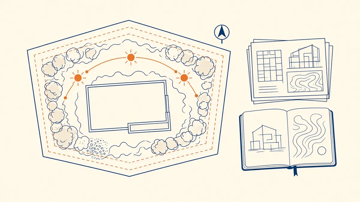
Pre-Design Research for Architecture Projects
Site, zoning, code and precedent research that sets a project up well.
Read more →
Using GIS Data in Site Analysis
Mapping data layers to understand a site and its context.
Read more →
Environmental Analysis in Early Design
Testing orientation, massing and shading before details are fixed.
Read more →