
Measured Building Surveys Explained
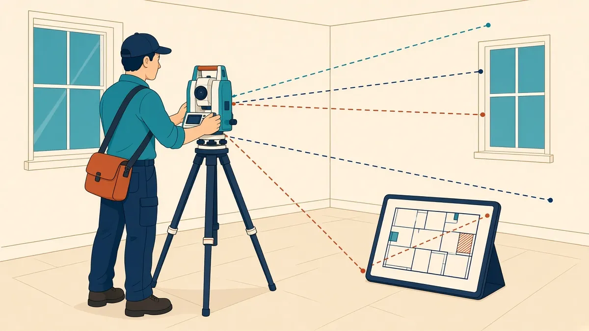
Before you can redesign a building, you need to know exactly what's there. That's the job of a measured survey.
Work on existing buildings starts with knowing what's there. A measured building survey records the geometry of a building, such as walls, openings, levels and roofs, so design can begin from accurate information. The quality of the survey affects everything that follows.
Survey methods
- Hand measurement: tape and laser distance meters, suitable for small, simple spaces
- Total station: precise measurement of points, often used to set up control and for elevations
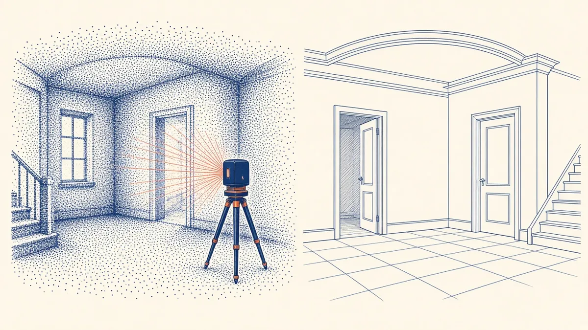
- Laser scanning: captures millions of points quickly, creating a point cloud
- Photogrammetry: creates 3D data from overlapping photographs
Many surveys combine methods, such as total station control with laser scanning.
Typical deliverables
- Floor plans
- Sections
- Elevations
- Roof plans
- Reflected ceiling plans
- Point clouds
- 3D models
Deliverables can be 2D CAD drawings, BIM models or both.
- 01Agree scope and accuracy
- 02Scan on site
- 03Register the scans
- 04Clean and segment the cloud
- 05Model from the cloud
- 06Check the model against the cloud
Specifying a survey
A clear specification helps get what you need. Consider:
- Areas to be surveyed
- Deliverables and formats
- Level of detail and accuracy
- Coordinate system and levels datum
- Features to include, such as services, finishes or structural elements
- Access arrangements
Guidance from professional bodies, such as the RICS guidance on measured surveys in the UK, and specifications such as the USIBD Level of Accuracy in the US, can help define requirements.
Accuracy
Survey accuracy depends on methods, equipment and conditions. Specify accuracy appropriate to the project. High accuracy costs more time, so match it to need.
Control and coordinates
A survey control network ties measurements together and to site coordinates. Agree the coordinate system and level datum so surveys align with other site information.
Hidden elements
Surveys record visible surfaces. Hidden elements, such as structure inside walls or services in ceilings, may need intrusive investigation or other specialist surveys.
Checking surveys
- Do dimensions match site checks?
- Are all areas included?
- Is the drawing layered and organised as specified?
- Do plans, sections and elevations agree?
Survey limitations
Surveys reflect the building at the time of survey. Note any areas that weren't accessible, and plan follow-up surveys if needed.
Using surveys in design
Base drawings or models on the survey, not on old drawings. Old drawings may not match the building as built.
Briefing the surveyor
A clear survey brief states the areas to cover, the drawings and model outputs needed, the level of detail and the required accuracy. It avoids paying for detail nobody needs, or missing detail that matters later.
A good measured survey gives existing building projects a reliable starting point and reduces surprises during construction.
If your team needs extra production capacity for work like this, take a look at our Architectural production services, or tell us about your project.
Related articles
Scan to BIM for Existing Buildings
Turning laser scans of existing buildings into reliable BIM models.
Read more →
Survey Tolerances and Accuracy Levels
Specifying how accurate a survey and model need to be.
Read more →
Point Cloud Formats and Registration Basics
Registration, file formats and using point clouds in Revit.
Read more →